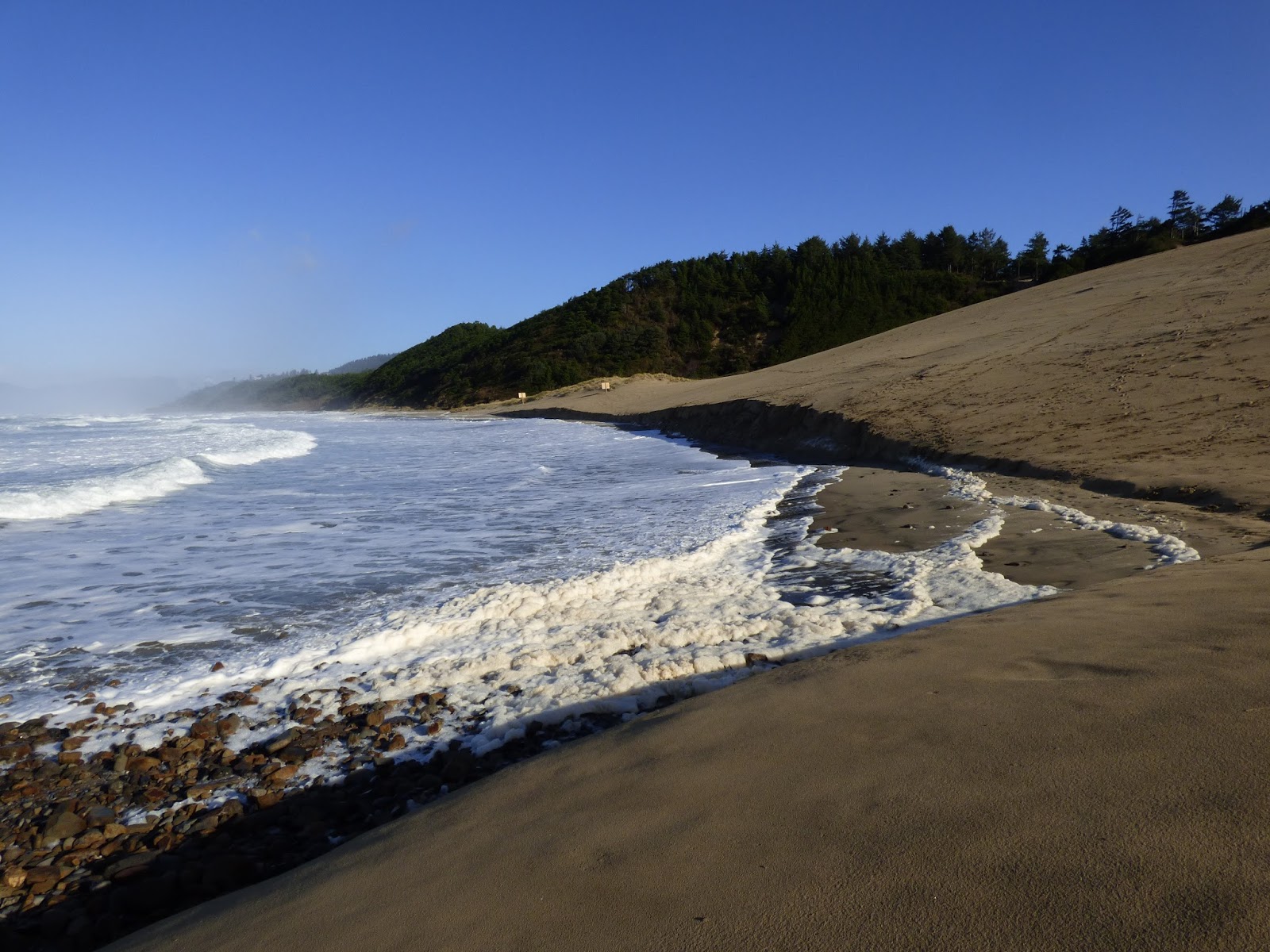
We hiked from McKillip's Park again, south to Cape Kiwanda. The access road had been cleared of debris, although much of it was still on the edges of the road and a few big pieces were still on the beach.
Looking north from the access road, the rock outcropping in the distance had birds perched on it.
Zoomed up in the camera, they morphed into 17 Surfbirds.
Walking south, we found erosion of the bank everywhere. At the blocked-off former trail which was badly eroded, a pile of debris had been piled at the foot, presumably to stop the ocean from continuing to undermine the bank.
But the bank is being undercut everywhere from McKillips Park to the dune.
The monolith/cliff at the west side of Cape Kiwanda may be beginning to crack on the left side above the second tunnel. Haystack Rock is the big Sea Stack on the right side of the photo below.
This smaller rock, which I call Castle Rock, is just off the Cape, northwest of the cliff/monolith seen behind it here.
The two signs saying motor vehicles prohibited beyond this point are still standing, but on steep ground now.
Below photo is looking north toward Cape Lookout at about half an hour before high tide. The signs are in the middle of the photo in the distance.
Photo below taken a same point looking west along side of cape. Water cut left middle of photo now goes way up the cliff.
On this day, I climbed the north end of the dune as I'm not sure exactly where Mile 262 officially ends. Here is the monolith from on top with the two tunnels.
Same monolith/cliff from farther south with Haystack Rock in the distance and the fjord (or whatever it is called) between Cape Kiwanda and cliff.
Also from that point I took a photo, looking northeast, of the houses that sit high above the Mile 262 beach.
These houses are perched very close to the north end of the dune, which you can see in the foreground of the photo below.
The photo below was taken farther south, looking toward the cliff/monolith and the fjord with an ever-widening cut below where I'm standing. It is difficult to see the huge cave on the left side of this photo where water is cutting a channel under the dune.
So I lightened it here to hopefully make it visible.
It is also difficult to show how steep the north side of the highest point of the dune now is, with many fallen dead trees tumbling down toward the hole pictured in the photo above.
Here is a shot looking up at the top of the dune with the steep drop off on the north side heading down to that chasm. This is much changed since my last visit during Black Oystercatcher monitoring season last summer.
I hiked on over to the south side of the dune and found the erosion there much worse as well. This is looking south with the water spout area to the right out of the photo. I didn't have the stomach for taking photos of all the people down by the water spouts trying to take photos of the water shooting out of the cracks. At high tide. Good grief.
Below is the extent of the eroded channel now, with the fence partially collapsed as the dune moves down toward the sea.
It will be interesting to see where the cape eventually splits off from the mainland... so many fingers of the ocean are working their way inward from so many directions now.